Vendar če bi lani poleti, ko je bila toča, nekdo dal podobno radarsko sliko pol ure pred nevihto...ne bi z čelado na glavi in z odejo iz dnevne sobe pokrival avto...
Ti podatki imajo eno pomanjkljivost...stari so več kot 20 minut, takrat je ponavadi že mimo. Če jim zaupaš (animaciji), so pa za preventivo uporabni....
Podatki so stari od 10 do 20 minut. Redko več (če se jim kaj zjebe ). Pač na vsakih 10 minut radar skenira in potem nekaj časa traja da se uploada. Čas je UTC, Slovenija je trenutno UTC+2.
V službi ga imamo integriranega v radarsko sliko, ampak za kaj več kot za informacijo je neuporaben, preveč zaostaja da bi lahko avione točno vodil okrog neviht. Mogoče za info, tanovi radar na Brniku (tista bela kugla) ima med celo kopico podatkov tudi aktualno radarsko sliko, tako da tista nam pa bo v pomoč
Cool low-level outflow has spread into southern Germany and northern Austria, while warm and moist air mass is present form southern Austria to Slovenia. Ahead of the approaching trough axis, models suggest that the warm air mass will spread north-eastwards, and a rather strong increase in low-level moisture is likely. This may result in CAPE in the order of 500-1000 J/kg during the afternoon from eastern Austria to south-eastern Poland, as rather steep mid-level lapse rates are present. Best forcing is expected north of a mid-level jet streak moving across the northern Balkans in the next hours.
Limiting factor is rather cool low-level air mass, and most storms may be elevated initially. Many clouds will limit diurnal insolation to the west, but latest satellite images show dissipating clouds over south-eastern Austria and Slovenia. In the next hours, initiation of thunderstorms is expected along the leading frontal boundary, and thunderstorms will likely spread eastwards during the period. With deep layer vertical wind shear of 25 m/s, 0-3 km vertical wind shear of 15-20 m/s, and favourable veering profiles, ingredients seem to be very supportive for supercells from north-eastern Italy to south-eastern Austria, and very large hail and damaging wind gusts are forecast. Tornadoes are not ruled out, but weaker low-level vertical wind shear will be a limiting factor. Storms will move eastwards and north-eastwards into Slovenia, Slovakia, Hungary, and south-eastern Poland, where severe threat is expected to be lower due to weaker instability and forcing.
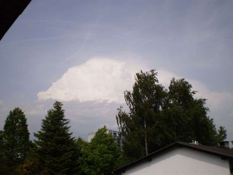
Pr nas na gorenjskem padlo par "kapljic" dežja za cca.10min. to je blo pa tud vse.Spet bo treba gasilce naročit da bodo pisto zalival da frišna travca ne umre